One final round of showers and thunderstorms move through the Lakes Region prior to another stretch of hot days.
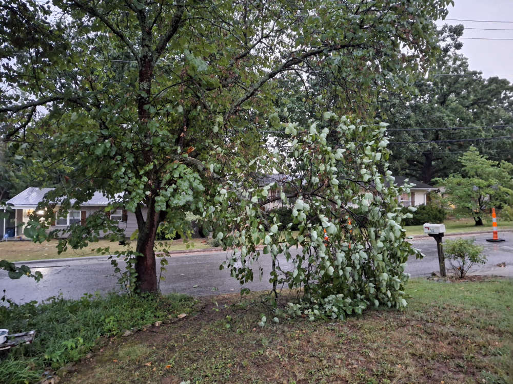
Storm Reports received by the National Weather Service included around 50 MPH winds at the Boone County Airport in Harrison along with one inch hail reported in Green Forest.
Several rounds of heavy rain led to Flash Flood Warnings and Flood Advisories to be issued around Carroll and Madison Counties while late Friday night, a final round of heavy rail led to a Flood Advisory to be issued for eastern Stone and western Taney Counties into early Saturday morning, including both the Branson and Kimberling City areas.
Around one to three inches of rain fell in the region during the passage of these storms.
Areas around Springfield saw the most damage through this round of storms with several lightning strikes causing power outages around the city plus setting a detached garage on fire. Wind gusts of 60 MPH was recorded in Springfield.
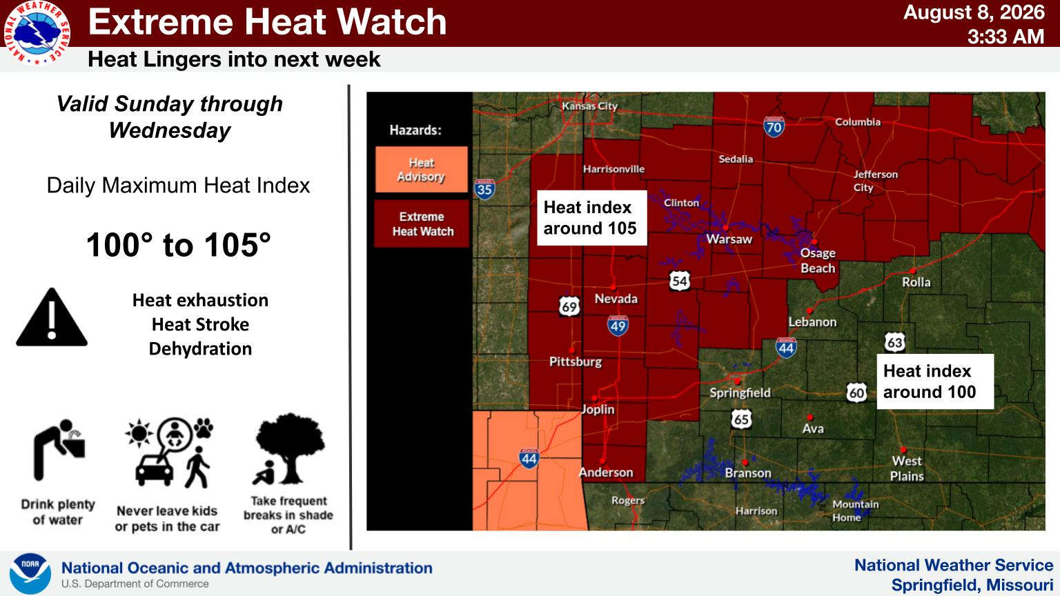
With the storm system now out of the Ozarks, another stretch of hot weather is settling into the region. Temperatures will rise to the low to mid 90s today then rise to near 100 be the first of the week. Heat Index readings are expected around 100-105.
 Branson Firefighters Work Two Unusual Vehicle Accidents
 Arrests Made in Stone County Drug Raid
 Charges Filed for June Shooting in Rockaway Beach
 Storms Roar Through the Lakes Region


