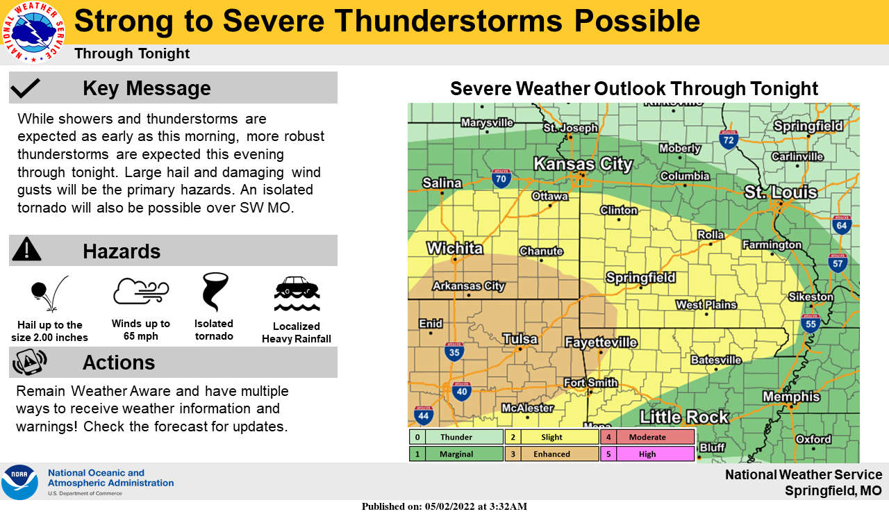
National Weather Services Forecasters says the potential exist for unsettled conditions to begin the week.
The weather service is advising of a Level 2 out of 5 potential for severe thunderstorms in most of the Lakes Region in two waves, first this morning then later in the day this evening into Tuesday morning. Large hail and damaging winds and a few possible tornados are possible with periods of heavy rain ranging from one to two inches with isolated amounts of three inches or more possible. A Flood Watch is in effect for all of the Lakes Region today into Tuesday morning.
Most of the rain is expected to leave the area Tuesday though another round of showers and thunderstorms are in the forecast for Wednesday.
 August Begins Below Normal Temperatures
 Ozarks Tech Hosts Open Houses on Area Campuses
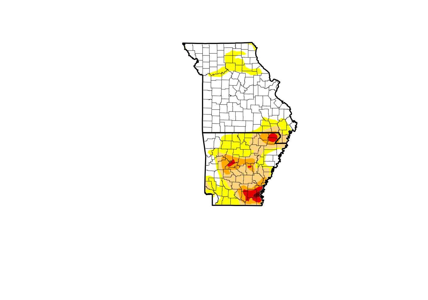 Drought Levels Stay Steady in the Ozarks
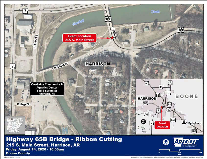 Update on Ribbon Cutting for Re-Opening of Downtown Harrison Bridge
 CHANGES at HUMANE SOCIETY


