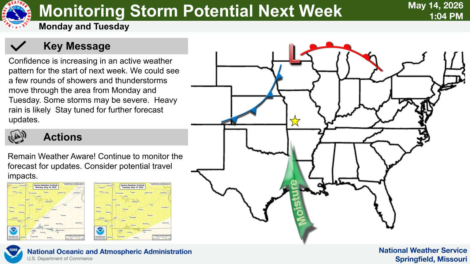
The upcoming weekend in the Lakes Region looks mostly dry according to the National Weather Service.
Forecasters say there are slight chances of showers both today and Saturday, but most areas will remain dry.
In a release, NWS Forecasters say a frontal boundary will begin making its way through the area early next week bringing the risk of strong to severe storms and heavy rain to the area. Another upper wave will move through Wednesday to continue the thunderstorm chances into the middle of next week.
Temperatures will be well above normal prior to the front’s arrival with highs in the upper 80s to around 90 through the weekend.
 August Begins Below Normal Temperatures
 Ozarks Tech Hosts Open Houses on Area Campuses
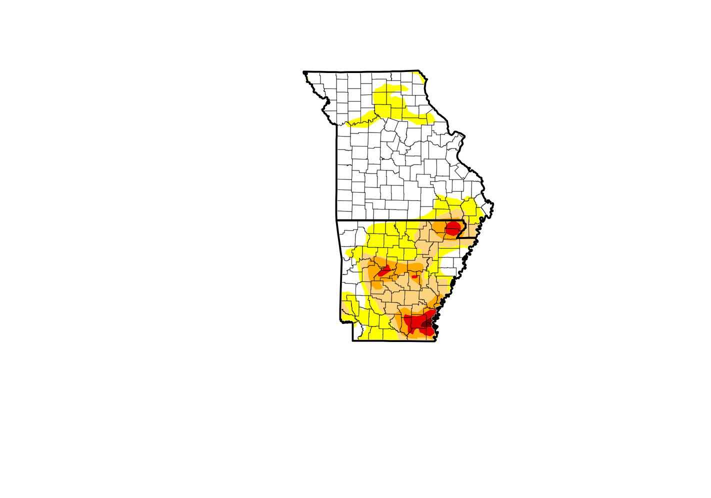 Drought Levels Stay Steady in the Ozarks
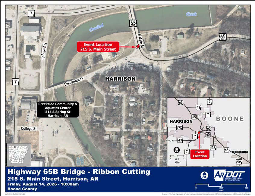 Update on Ribbon Cutting for Re-Opening of Downtown Harrison Bridge
 CHANGES at HUMANE SOCIETY


