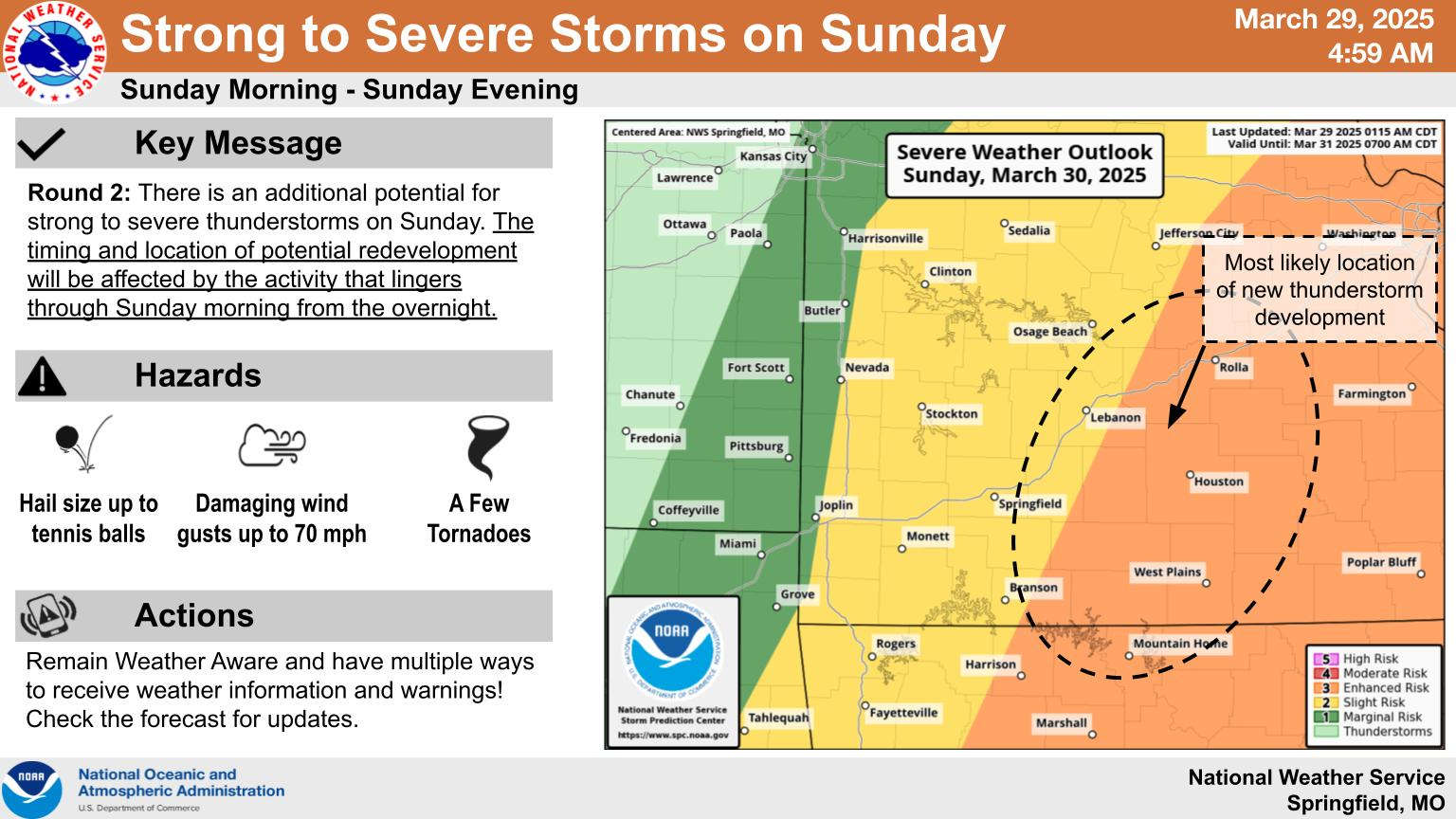
Showers and thunderstorms will develop in two waves over the weekend.
The latest information released from the National Weather Service shows the first wave will develop late tonight with the potential of large hail the main threat. The region has been upgraded to a marginal to slight risk for tonight into Sunday morning.
A second wave is expected to develop Sunday afternoon with the Lakes Region in a slight to enhanced risk of storms. The locations of the storms will depend on how quickly the first wave of storms moves out. The quicker those storms dissipate, the more likely for severe weather to develop later.
Temperatures will be in the 70s through the weekend then drop to around 60 for the Monday afternoon high.
 August Begins Below Normal Temperatures
 Ozarks Tech Hosts Open Houses on Area Campuses
 Drought Levels Stay Steady in the Ozarks
 Update on Ribbon Cutting for Re-Opening of Downtown Harrison Bridge
 CHANGES at HUMANE SOCIETY


