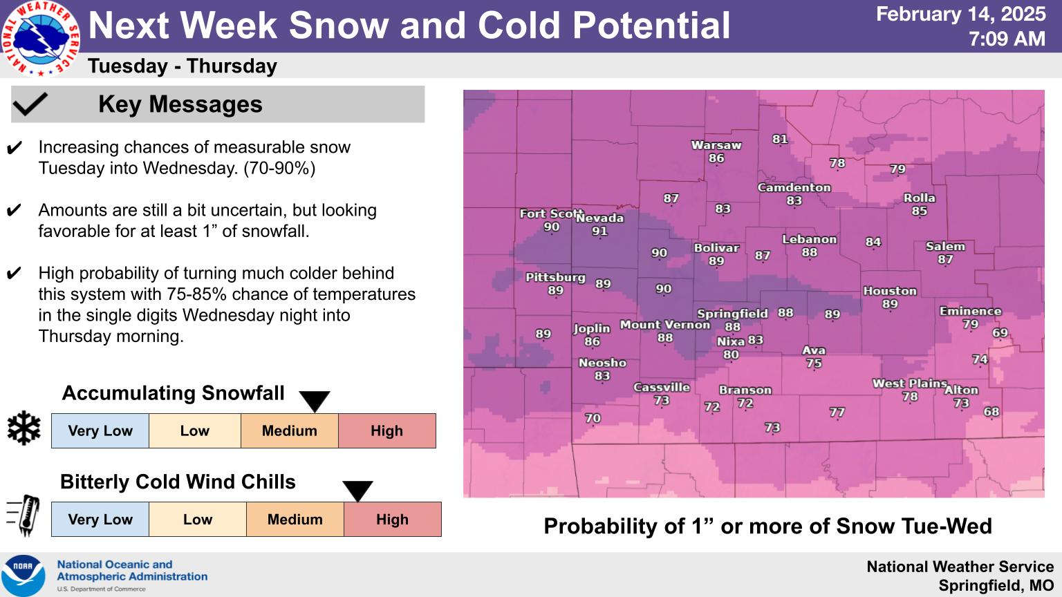
The Lakes Region will see warmer temperatures over the next couple of days, but more rounds of cold weather and snow are coming next week according to the National Weather Service.
A shift in a High-Pressure System will bring in southernly winds today and Saturday which will see temperatures into the 40s today and possibly the 50s on Saturday. Another front brings in rain Saturday changing to light snow by nighttime with temperatures dropping into the 30s.
Another front will move through Tuesday and the potential of significant snow fall is present according to weather forecasters with another drop in temperatures expected later in the week.
 August Begins Below Normal Temperatures
 Ozarks Tech Hosts Open Houses on Area Campuses
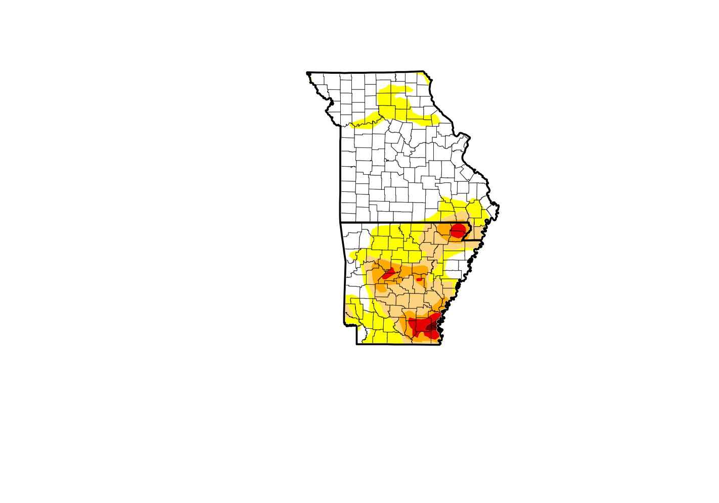 Drought Levels Stay Steady in the Ozarks
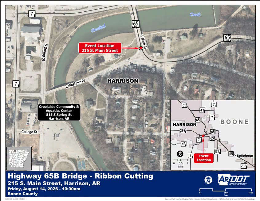 Update on Ribbon Cutting for Re-Opening of Downtown Harrison Bridge
 CHANGES at HUMANE SOCIETY


