

The autumn like conditions continue as another cold front keeps temperatures cool.
Tonight into Wednesday morning, the lowest temperatures so far this season are expected with lows dropping to around 40. Some areas north of the Lakes Region could see some frost.
Prior to that, this afternoon will see wind gusts from the northwest up to 30 MPH, possibly coupled with low relative humidity will elevate the risk of fires getting out of control.
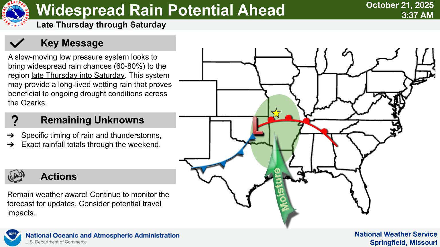
A major system will move in to the region early Friday morning bringing the chances of heavy rain to the region for Friday and Saturday.


 Weathers Among Governor Appointments at Risk Due to Senate Filibuster
 Play in Eureka Springs to Benefit Carroll County Purple Flower
 Hudson Proposes Law to Restrict Local Gun Laws
 New Fees Established for Travelers Without Real IDs