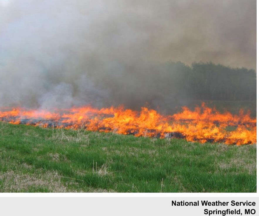
National Weather Service forecasters in the region continue to warn of an elevated fire risk due to high winds and low humidity.
While a cold front shifted the winds to lead to a chilly start to the morning, the winds will shift back from the south and increase again late this afternoon into the evening. Despite yesterday’s rain, conditions remain overall dry and fire risk does remain high.
Saturday’s high will surge into the 60s before another brief cool down on Sunday leads to even warmer temperatures with highs expected into the 70s for much of the week including Christmas Day.
 August Begins Below Normal Temperatures
 Ozarks Tech Hosts Open Houses on Area Campuses
 Drought Levels Stay Steady in the Ozarks
 Update on Ribbon Cutting for Re-Opening of Downtown Harrison Bridge
 CHANGES at HUMANE SOCIETY


