After a two-day warm-up, another blast of cold air will roll through the Lakes Region early Friday morning.
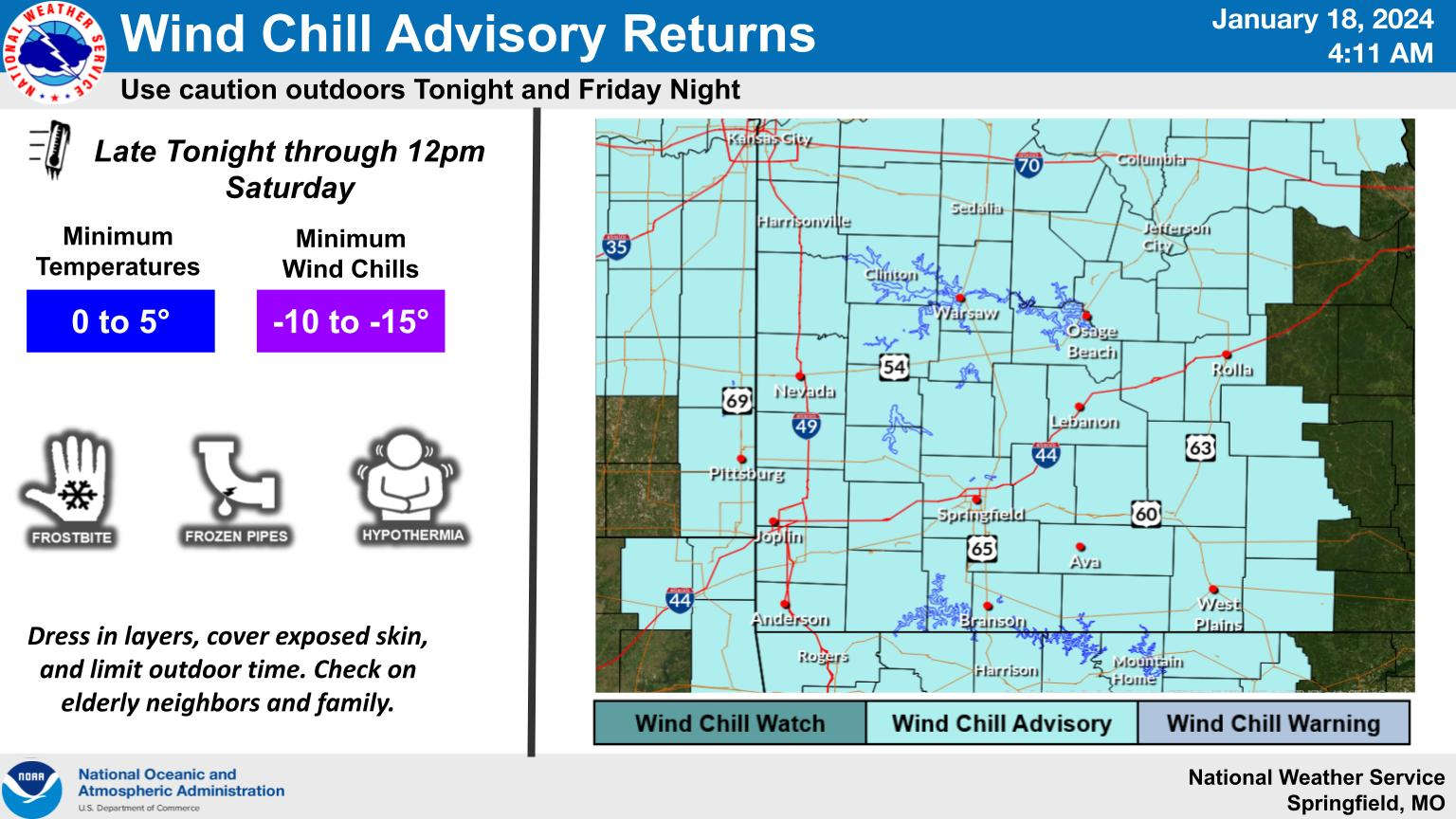
The National Weather Service has issued Wind Chill Advisories for both the Arkansas and Missouri Ozarks overnight with temperatures to plummet to the low teens by sunrise Friday with the high expected only to get to around 20 during the day. Unlike last week’s cold blast, no precipitation is expected as the front moves through.
A longer lasting warm-up begins on Sunday with precipitation moving in. Freezing rain is possible as the precipitation starts Sunday night into Monday, but temperatures will get above freezing Monday afternoon and stay there over the next several days with continuing chances for rain.
 August Begins Below Normal Temperatures
 Ozarks Tech Hosts Open Houses on Area Campuses
 Drought Levels Stay Steady in the Ozarks
 Update on Ribbon Cutting for Re-Opening of Downtown Harrison Bridge
 CHANGES at HUMANE SOCIETY


