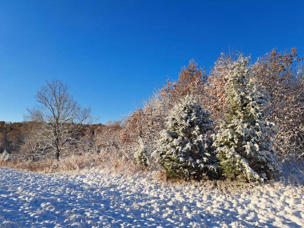
After the first round of snow left more than expected Saturday morning, another round of snow is possible in the region this evening and overnight.
Although snow was predicted for early Saturday morning, some areas got more than expected. The National Weather Service received reports of a half inch of snow in the Harrison area with slightly less amounts reported at the Branson Airport. The Branson-Hollister area had a slight dusting of snow on the ground Saturday morning.
Some areas in northern Arkansas did get some higher amounts with around an inch of snow observed in Boone and Carroll Counties and some bridges and overpasses slightly iced over during the morning hours.
As for possible snow today, the National Weather Service forecast calls for rain late this afternoon changing over to snow as temperature drop below freezing during the evening. Forecasters predict a possible half inch to one inch accumulation in the area. The snow will be tapper off overnight. A Winter Weather Advisory is in effect for several counties in northern Arkansas including Boone, Carroll, Madison, Marion, Newton, and Searcy.
Temperatures will remain well below normal this week with highs in the 30's and 40's.
 August Begins Below Normal Temperatures
 Ozarks Tech Hosts Open Houses on Area Campuses
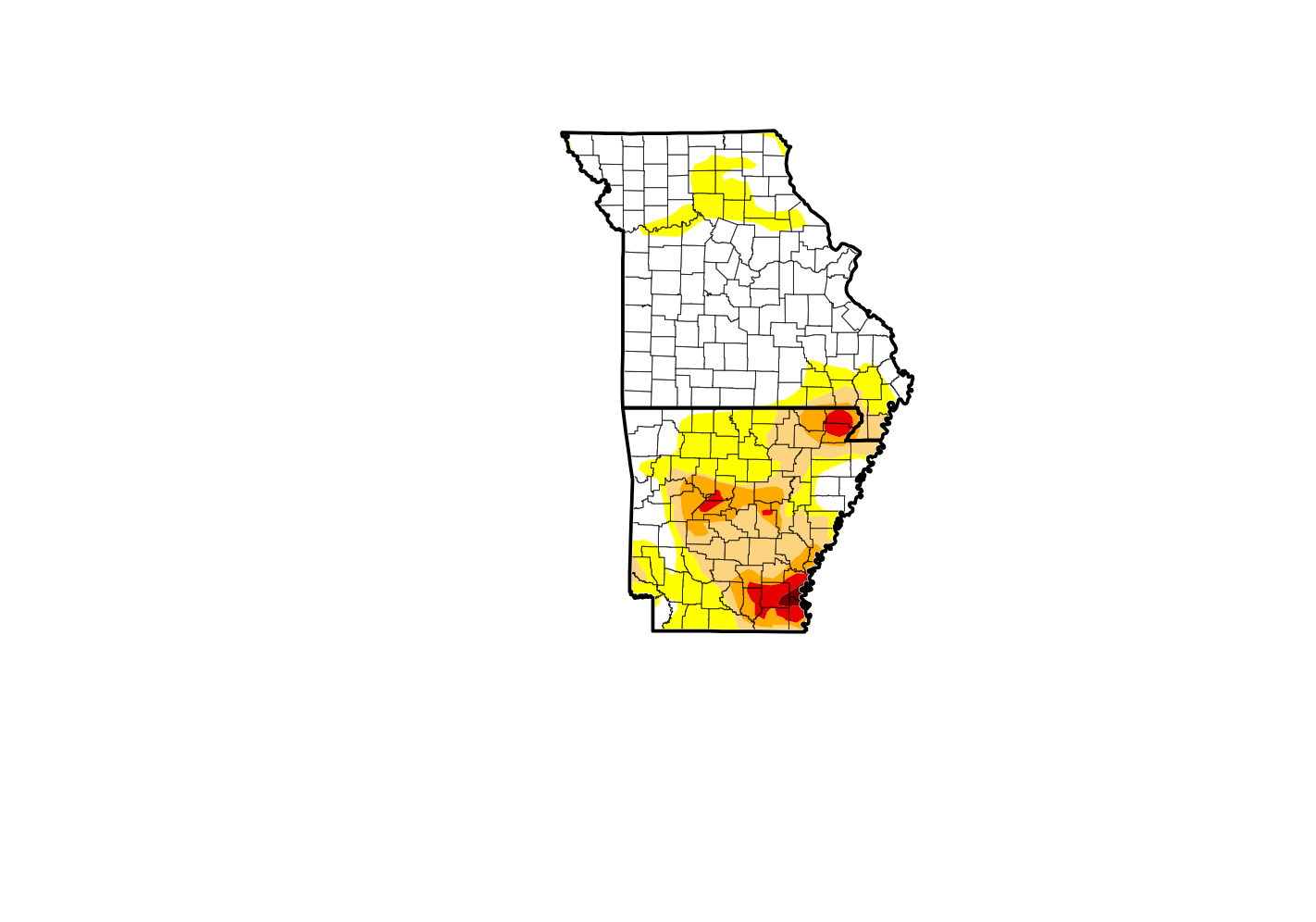 Drought Levels Stay Steady in the Ozarks
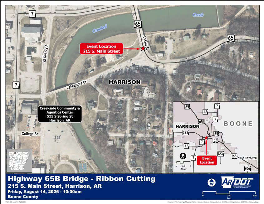 Update on Ribbon Cutting for Re-Opening of Downtown Harrison Bridge
 CHANGES at HUMANE SOCIETY


